THE RIVERS LINE
The ‘Rivers’ line is one of the three principal alignments that locate the Tinkinswood Burial Cairn. As we have seen it runs south-west to north-east from the mouth of the Col-Hugh river near Llantwit Major to the mouth of the Usk river near Newport. It is 8,000 poles (40 kilometres) long (one thousandth of the earth’s circumference). Tinkinswood bisects this line in the ratio of 3:5.
Fig 8 The ‘Rivers’ Line from Col-Hugh to Usk Mouth Illustrates the Ratio of 3:5
Tinkinswood – in common with two other burial sites in the wider Vale of Glamorgan - lies 3,000 poles from the mouth of the Col-Hugh. It therefore follows that Tinkinswood lies 5,000 poles from Usk Mouth.
A frequent objection is that the mouths of these rivers do not constitute precise spots from which to measure. The estuary of the Usk, for instance, is broad. How do we know therefore that the line length is 8,000 poles in length instead of, say, 7,900 or 8,100?
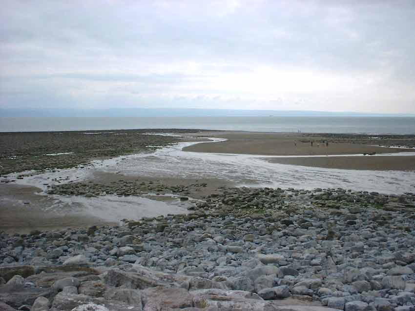
The Mouth of the Col-Hugh River near Llantwit Major
The answer is that we don’t - if we simply look at this line in isolation. But when we take into account the fact - obtained from many other observations (including those reported on this website) - first, that the ancients in the Vale of Glamorgan tended to work in round numbers of poles; secondly that 8,000 is exactly one thousandth of the earth’s circumference; thirdly that 8,000 poles is twice 4,000 poles which is the length of the ‘Mountain’ line which can be measured with a fair accuracy; and lastly, that the ratio of 3:5 – a ratio replicated in the ‘Mountain’ line – implies an 8,000 pole line, then a fair minded person would surely begin to accept that the ‘Rivers’ line was intended to be 8,000 poles in length.
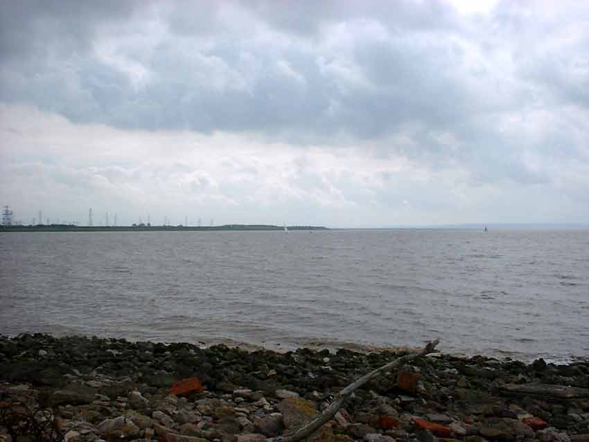
The Mouth of the Usk. The ‘Rivers’ line terminates somewhere here
Moreover, as further confirmation, the map reference to the spot at Usk Mouth that is 5,000 poles from Tinkinswood along the ‘Rivers’ line is ST 318830. Now we know that most burial sites in the Vale of Glamorgan appear to be located 3,000 poles from the mouth of a river and the Usk is no exception. The Burial Mound to the east of Caerphilly, map reference ST 175879, lies 3,000 poles from this exact spot (see diagram above). We therefore have supporting evidence that the end of the ‘Rivers’ line is a definite spot to which co-ordinates can be given and that it is therefore really 8,000 poles in length.
Today this spot is somewhere in the middle of the Usk Estuary, but, of course, we do not know how the estuary would have looked 6,000 years ago. Then the spot that today is simply water could have been an island or sandbank or even a spur of land.
BACK TO:Home Page and Index
MORE DETAIL: